The Lone Rock Trail consists of 11 miles of trails through gently rolling terrain, woodland, restored prairie, wetlands, and agricultural land in the RROC’s Vermillion Highlands. No trail pass or fee are required to use the trail or parking areas.
Operating times
The trail is open from sunrise to sunset with the exception of a 10 a.m. opening time during the months of May and October. This is to minimize disturbance to spring turkey hunters and fall archery deer hunters during prime hunting periods.
Trail resources
Permitted trail uses
- Hiking - The Lone Rock Trail is open to hiking from January 1 through October 31.
- Horseback riding - Lone Rock Trail is open for equestrian riding from May 1 through October 31 each year. The trail is closed to equestrian use from November 1 through April 30 to allow for firearms deer hunting and cross-country skiing. The trail is open for personal use and should not be used or marketed for any business purposes.
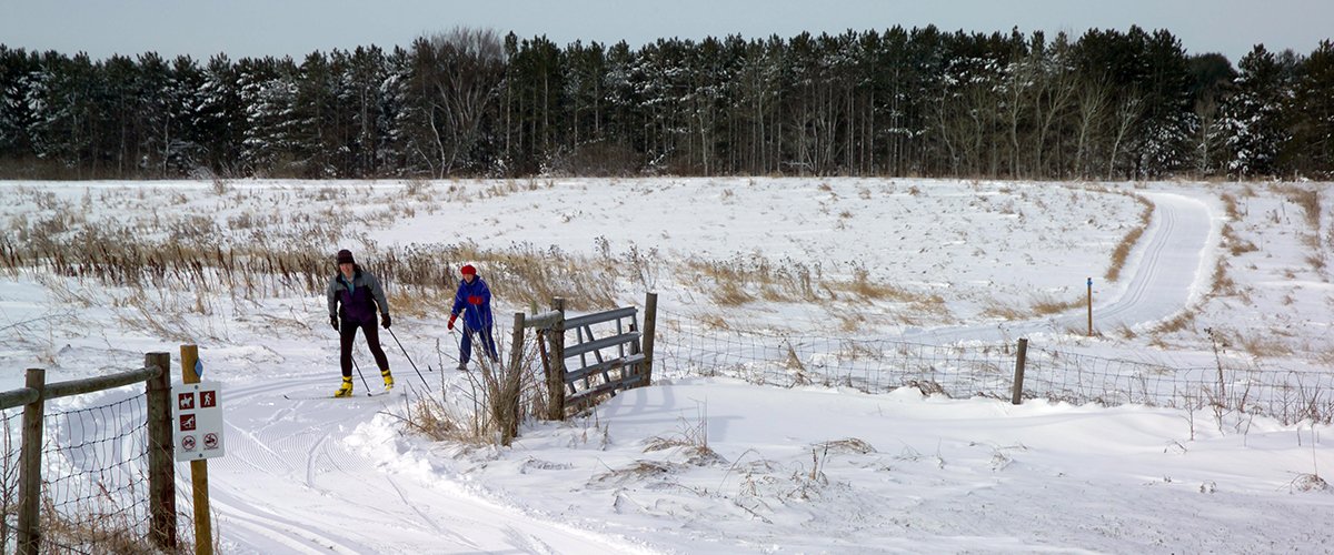
- Cross-country skiing - Conditions permitting, the Lone Rock Trail is open to cross-country skiing from December 18 through March 31. Intermediate skill is required; the trail features rolling terrain with frequent short hill climbs and descents. Trails are one-way for skiers; follow blue diamond markers. Note: Skiers are urged to use caution from mid-December to early-January as pheasant, deer, and late season goose hunting will be ongoing.
Trail conditions
The Lone Rock Trail is groomed in cooperation with Dakota County. For the most up-to-date information on trail conditions, visit Dakota County trail conditions.
Trail courtesy
Please protect our natural vegetation by staying on the trail. Dogs are allowed on the trail with hikers, but must be kept on a leash. Blaze orange clothing is recommended if you use the trail during periods when hunting is allowed.
Trail access
- Primary access: The trailhead off of Station Trail Road, south of 170th Street. This access has parking space for several truck/trailer rigs and trails for tying off horses. It also has watering and restroom facilities. Directions to the trailhead: From Co. Rd. 46 and Biscayne, travel south to 170th Street. Head east on 170th Street to Station Trail. The trailhead is located just off Station Trail Road, south of 170th Street. Follow the signs to the Lone Rock Trailhead.
- Secondary access: Parking Lot off Clayton Avenue. This access has room for a couple of truck/trailer rigs.
- Secondary access: Parking Lot off of Blaine Avenue. This access is a more primitive site.
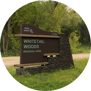
Whitetail Woods Regional Park
Lone Rock Trail also provides access to Dakota County's Whitetail Woods Regional Park. This park has over 10 miles of summer hiking trails, over 6 miles of ski touring trails, and over 5 miles of winter hiking/snowshoe trails.


